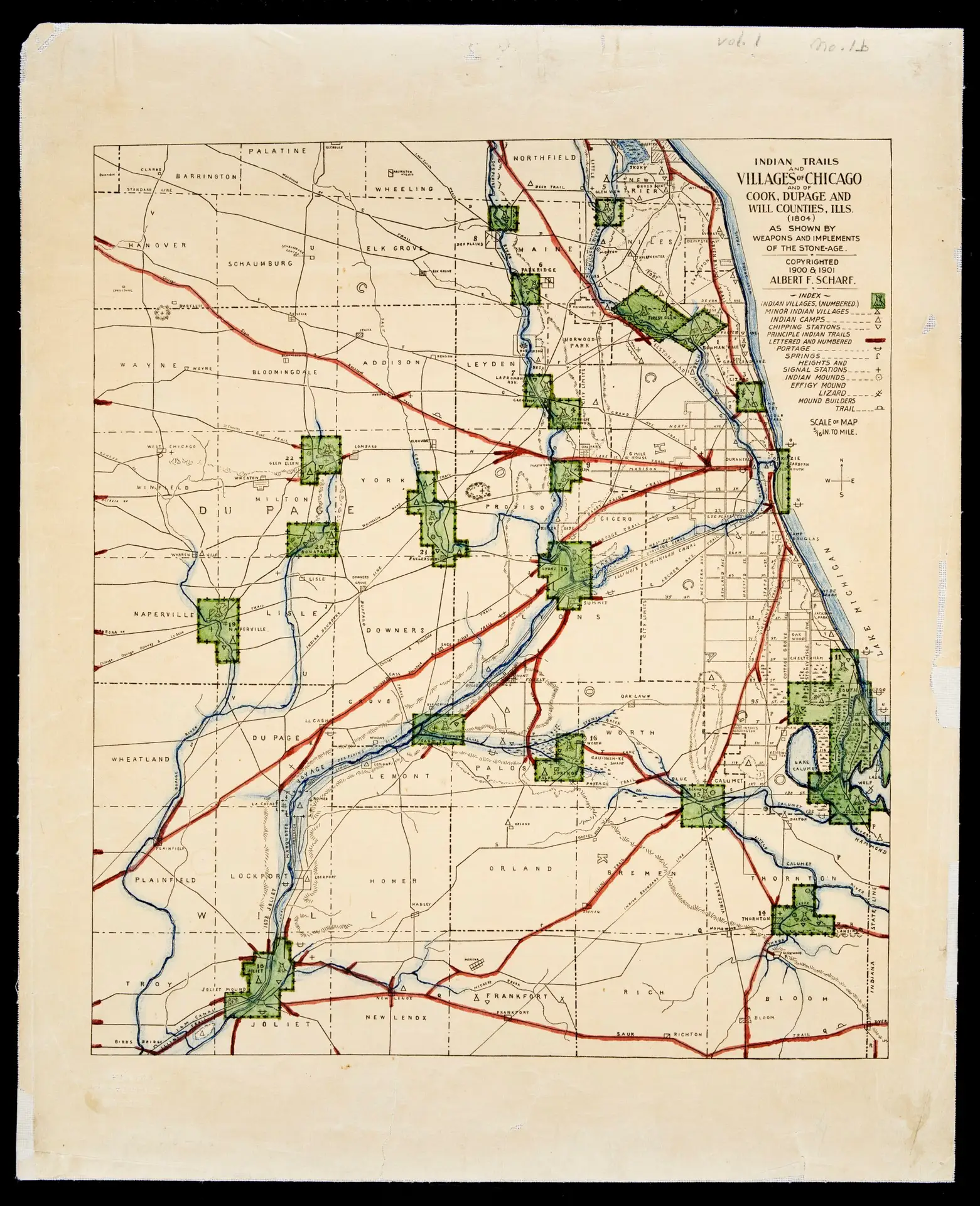
Map of American Indian trails and villages of Chicago, Illinois, and of Cook, DuPage and Will Counties, Illinois, in 1804. Map by Albert F. Scharf, 1900-1901.
This broad ranging exhibition provides an overview of Chicago’s early designs, historical development, and contemporary usage of its water, land, and air in a survey extending from its Indigenous roots to present-day climate concerns.
Drawing from the motto found on the City Seal, “Urbs In Horto” (City in a Garden), the exhibition pairs Chicago’s historical design choices with contemporary artist’s projects and community-led approaches to offer ways of reimagining our complicated relationship with the city and with nature.